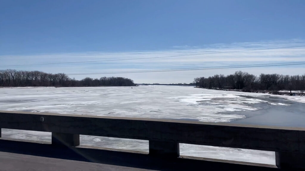
There are reports of ice jam flooding on Highway 15 outside of Schuyler, Nebraska.
The flood, located in Colfax County, Nebraska, was reported on Friday, Feb. 26, 2021, as the road is covered in water, forcing the bridge connecting south of the town to close.
This March marks the two-year anniversary of the catastrophic floods that decimated parts of Eastern Nebraska. The 2019 floods damaged roads, bridges and properties resulting in some towns stranded.
Warmer temperatures are approaching in the spring after Nebraskans witnessing the polar vortex from the last couple of weeks. Recent weather trends circulate potential flood watches along the rivers as the snow and ice start melting, but they shouldn’t replicate what Nebraskans experienced in 2019.
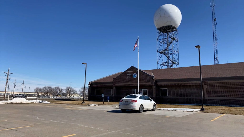
Hydrologist David Pearson of the National Weather Service is closely monitoring the Platte, Elkhorn, and Loup Rivers as warmer temperatures melt the large amounts of ice and snowfall precipitation. Communities near these rivers, like Fremont, Neb., could be affected as ice jams develop.
“Those are places that more than not have ice problems,” Pearson said. “We watch all the rivers, but there’s always those areas that tend to get picked on the most.”

Ice jams are formed by the rapid melting of snow and ice through warmer temperatures. The results of them moving downstream can be costly as the flooding covers roads and rip away bridges in its sight.
“Obviously, you need ice, but you need a lot of it, and just because you have ice in the river doesn’t mean you’re gonna have an ice jam necessarily,” Pearson said.
“It really depends on how fast it breaks up because, at some point, the ice is [going to] melt, break up and start moving. At some point, it’s going to stop moving. It just depends on how much water is in the river and how thick the ice is.”
Other contributions to the 2019 floods were the longer colder period and large amounts of rainfall. Outside of the ice jam potential, Pearson said the risk for flood conditions this year, when compared with 2019, is not high.
“That’s largely because the soils are fairly dry from the ongoing drought. You don’t have a large area of snow to melt, and it’s melting fairly slowly which is a good thing. So now we’re just watching to see how the spring rains develop.”
Reaching out to people on the flood watch is the number one priority for the National Weather Service. Pearson recommends any concerned residents to check for updates with their weather forecasts for possible flood watches and/or warnings in their areas.
“[Residents] have to find a way to one know what their risk actually is,” he said. “If you’re somebody that was, more than not, consider taking actions now. Consider taking actions like moving out ticks off the floor, moving stuff away from the river.”
Visit the National Weather Service website or follow their social media page to check for updates on the weather and possible flood watches in your area.


